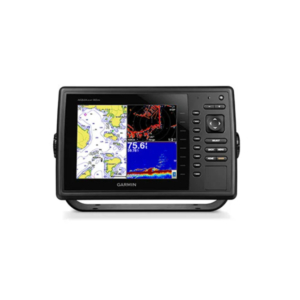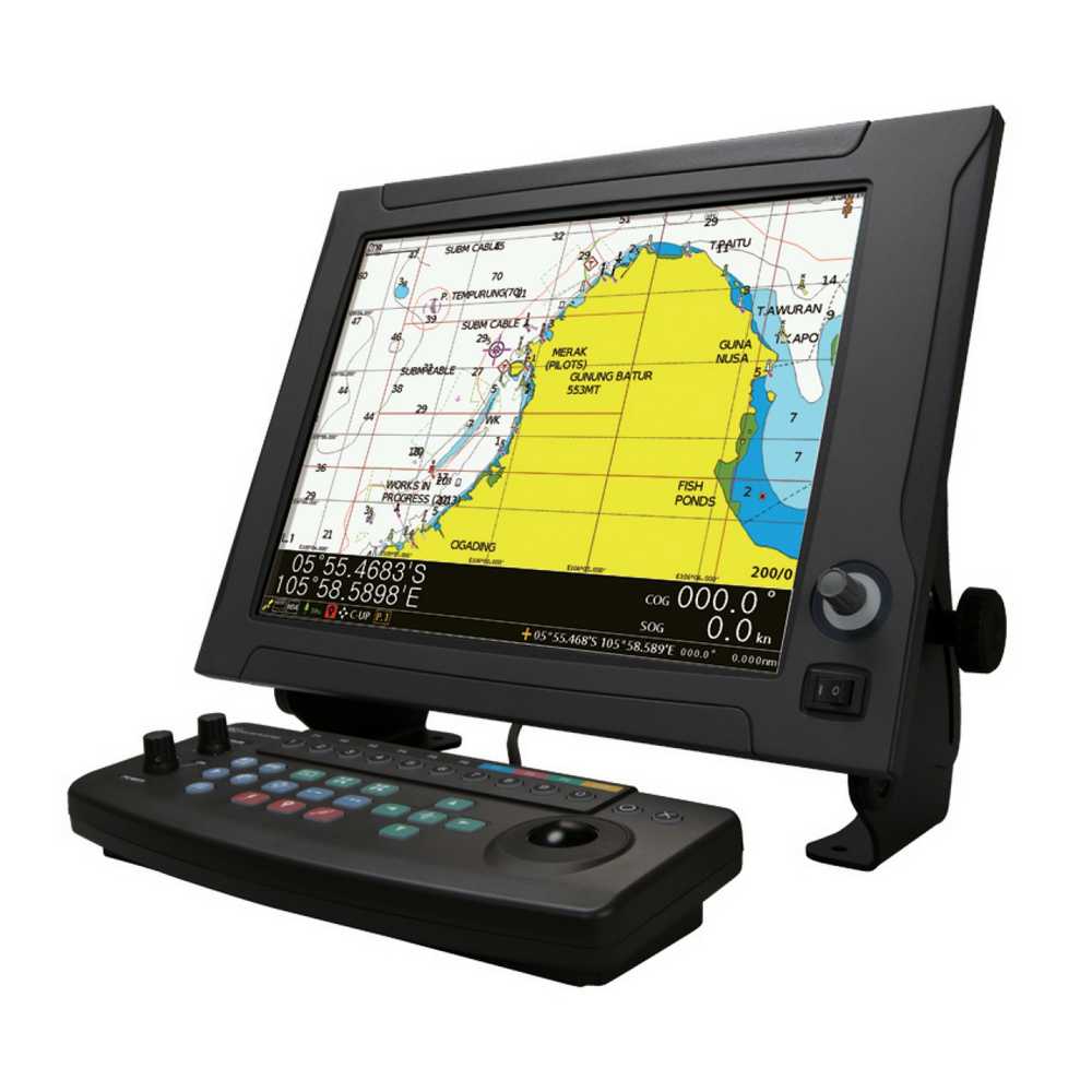
The newest NAVIONICS+ allows for incredibly detailed display of sea areas. The JLZ-1000 color plotter also has a high-speed display contributing to stress-free navigation and chart updates, enabling operation using the latest data. The JLZ-1000 fully supports NAVIONICS+, one of the most accurate and thorough sets of global nautical charts available for marine environments. Essential details such as port plans, safety depth contours, marine services, tides & currents, and navigation aids are included and displayed without delay, allowing for stress-free operation.
Additionally, Newpec charts, the new personal electronic chart made available by the Japan Hydrographic Association, are supported for Japan. By connecting the (D)GPS receiver or GPS navigation system, the JLZ-1000 continuously plots the ship’s tracks in color along with latitude and longitude lines and scales. Tracks can be displayed and erased easily by changing their colors, providing intuitive identification of movement operations. Users can record destinations and significant points (e.g., dangerous zones, shoals, fish reef positions) and display them in color.