- Size: 171 mm (H) x 205 mm (W) x 75 mm (D)
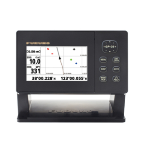
- Display: Wide 7″, TFT color, 800 x 480 pixels
- Supply Voltage: 10 to 34 V DC
- Supply Current: 13.8 V, 0.8A min – no backlighting; 1A max – full backlighting
- Operating Temperature: -10℃ to 50℃
- Alarms: Arrival radius, anchor, XTE, danger, too shallow, too deep, fish, temperature, temperature rate, low battery, low fuel (optional), loss of DGPS fix, radar guard zone, dangerous AIS vessels
- Chart Card: NAVIONICS® GOLD SD Card
- User Card: SD Card
- Waypoints: 10,000 waypoints (Event Mark: 48, Mark Color: 16)
- Routes: 100 Routes, with up to 100 points each
- Tracks: By time or distance, 10 tracks of 5000 points
- Chart Datums: 216 Chart datums
- Chart Scale: 0.2 ~ 500 nm
- Interface: NMEA 0183
- Frequency: 50/200KHz
- Output: 600W
- Depth Range: Min: 0m ~ 3m, Max: 0m ~ 1,500m
- Color Display: 16 colors
- Brightness: 10-step
- Screen Moving Speed: Super fast, fast, medium, low, stop
- Battery Voltage Display: Voltage number display
- AUTO GAIN Adjustment: OFF/ON
- A-Mode Display: OFF/ON
- Demo Display: OFF/ON
- Weak Color Removal: 0% ~ 75%
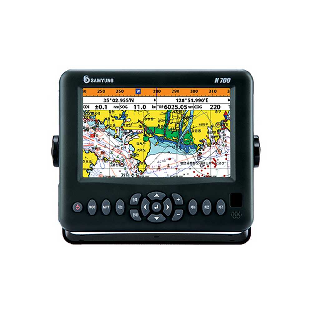
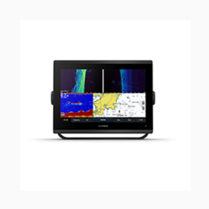
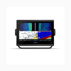
N700 GPS PLOTTER FISH FINDER (Wide 7″)
Request a quote for latest pricing
Features:
- Wide 7” high resolution TFT LCD
- 10-step adjustable LED backlight
- NAVIONICS® Gold SD Card
- 128MB internal memory and built-in standard Samyung chart
- Individual button for navigation GOTO and MOB
- Multiple languages available, including English, Chinese, Russian, Thai, Malay, etc.
- DGPS (WAAS, MSAS, EGNOS)
- Save a chart image on internal memory (128MB)
- Save internal data on SD card
- View and print saved data on SD card
- User-friendly operation with icon-based menu
- NMEA0183 interface (AIS, NAVTEX, DSC, etc.)
- 4 split screens (Chart, Data, Highway, Fish-finder)
- Dual frequency (50/200Khz) for detection of small and individual fish
- Clearly displays fish targets close to the seabed with split zoom/split bottom (Output: 600W, Max. depth: 600M)