- Receiver Frequency: L1 1575.42 MHz (C/A code)
- Display Resolution: 128×64 dot LCD (3-inch)
- Receiving Type: Digital 12 Channels multi-tracking type
- Receiving Sensitivity: Below -130 dBm
- Resolution: 1/1000 Lat. and Longitude
- Accuracy:
- GPS Position: 10m 2D RMS (HDOP < 2) (SA OFF)
- DGPS Position: 3m 2D RMS (HDOP < 2) (SA OFF)
- Speed Accuracy: 0.1 Knots RMS (HDOP < 2, SA OFF)
- Destination Memory: WAYPOINT/MARK/MOB: 1000 points in total
- Mark Data: Position, course, average speed, destination, accessing speed, name of destination, route navigation, distance to destination, direction, time required, secession from route
- Display Mode: Temporary plotter mode, Steering mode, Highway mode, Navigation Data mode, User mode (Digital, Speedometer)
- Plotter Mode: 0.02, 0.05, 0.1, 0.2, 0.5, 1, 2.5, 19, 20, 50, 160, 320 nm
- Highway Mode: 0.2, 0.4, 0.8, 1, 2, 4, 8, 16 nm
- Temperature Range:
- Main Unit: -20°C to +55°C
- Antenna: -40°C to +85°C
- Relative Moisture: 0~95%
- Input/Output Data:
- Input: RS-232C
- Output: RS-232C & TTL
- Protocols: SAMYUNG, NMEA 0183 (Ver1.5, 2.0), FURUNO (CIF), JRC
- Power Supply: DC 10 ~ 36V / 0.08~0.3A (Max. below 4W)
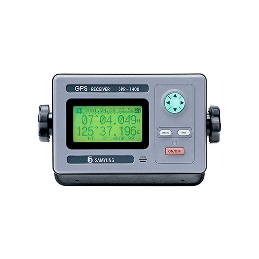
SPR/DSPR-1400
Request a quote for latest pricing
Features:
- Compliant with IMO and MSC standard.
- Small size, light weight, easy installation.
- All data with big letters can be displayed in one screen.
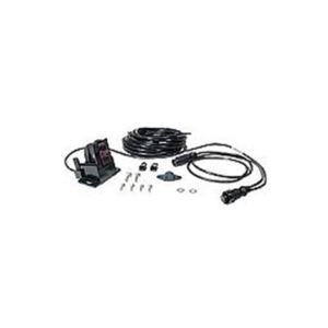
- Interface with PC to print out destination, mark, and routes.
- No need to initially set up the machine as it is of full automation.
- Easy night navigation with full light support in screen at every stage.
- Has temporary plotter function.
- WGS-84 and other geodetic survey methods can be selected.